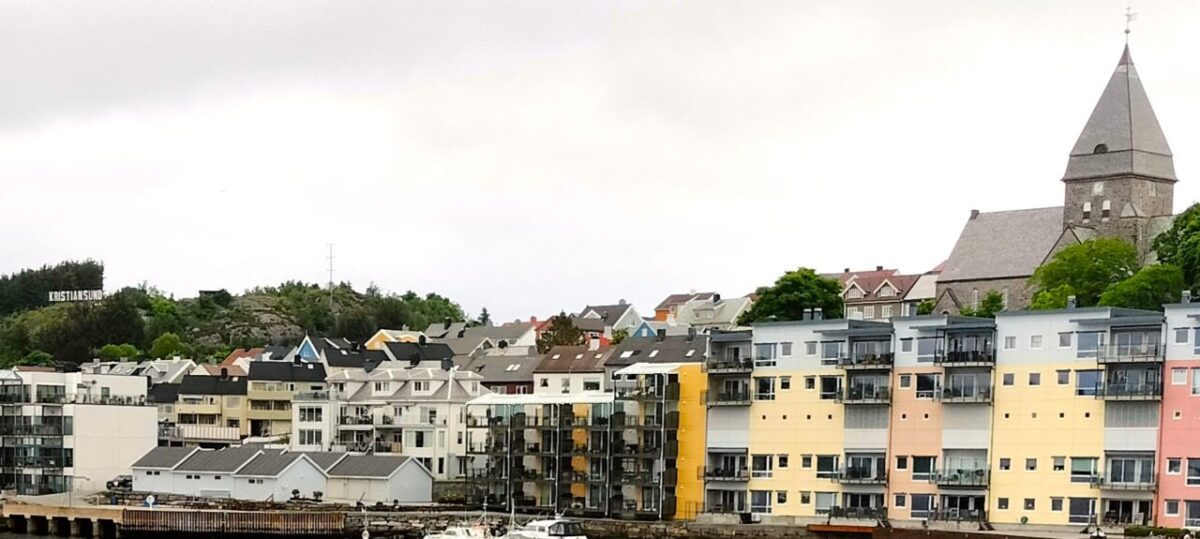
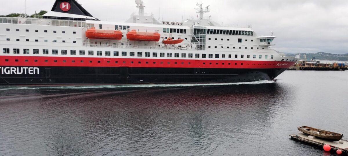
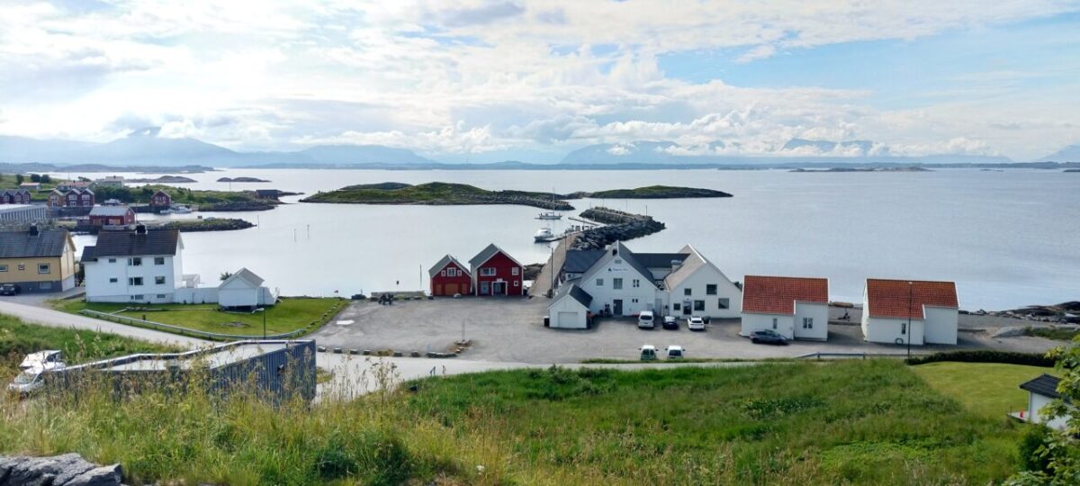
Our final destination today is Kristiansund, ‘Kristian’ after a king and ‘sund’ meaning strait. Kristiansund is a group of Islands, principally 3 main ones; we are staying in an apartment on Innlandet island which looks across to the Nordlandet island. Nordlandet means north country, Kirkelandet (the biggest island) means church land and Innlandet means hinterland, there must have been some incorrect translation at the time of naming it as hinterland means remote and away from the coast, you can’t get more coastal than an island. Cruise ships come to Kristiansund and so do Inter-Norway ferries as you can see from the photo below they sail right past our window.
We drove to the islands of Kristiansund by car, without the use of a ferry, because thanks to many intuitive people they built a series of bridges, tunnels and causeways in the 1980s and by the 1990s the road was paid for and the tolls removed. Great for us, but bad for cyclists, as the local ferries were decommissioned and cyclists can’t use the road tunnels.
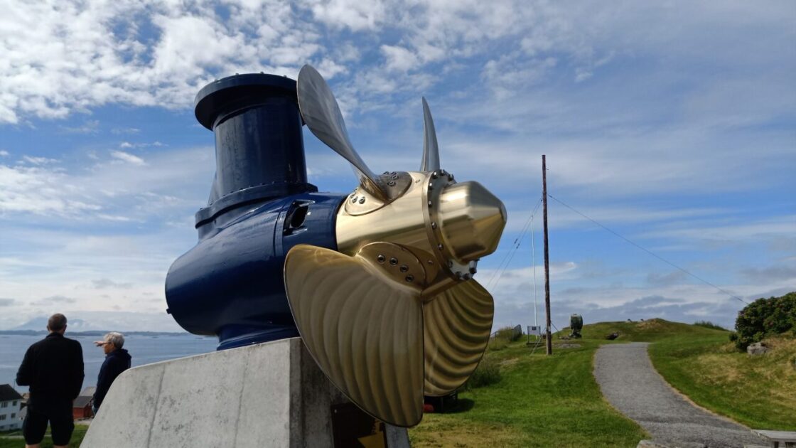
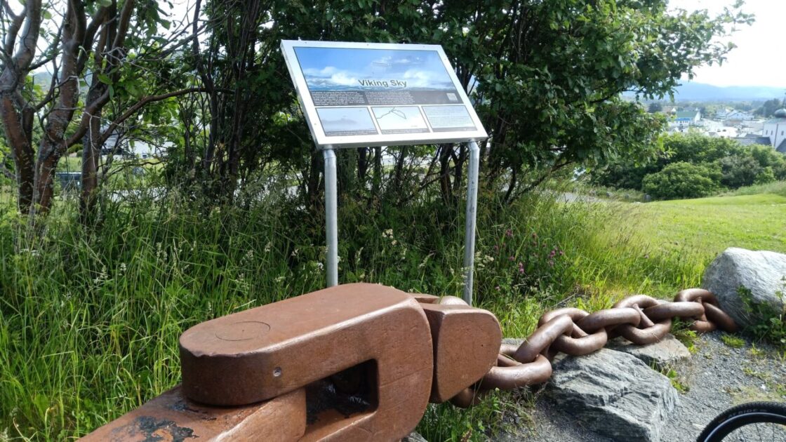
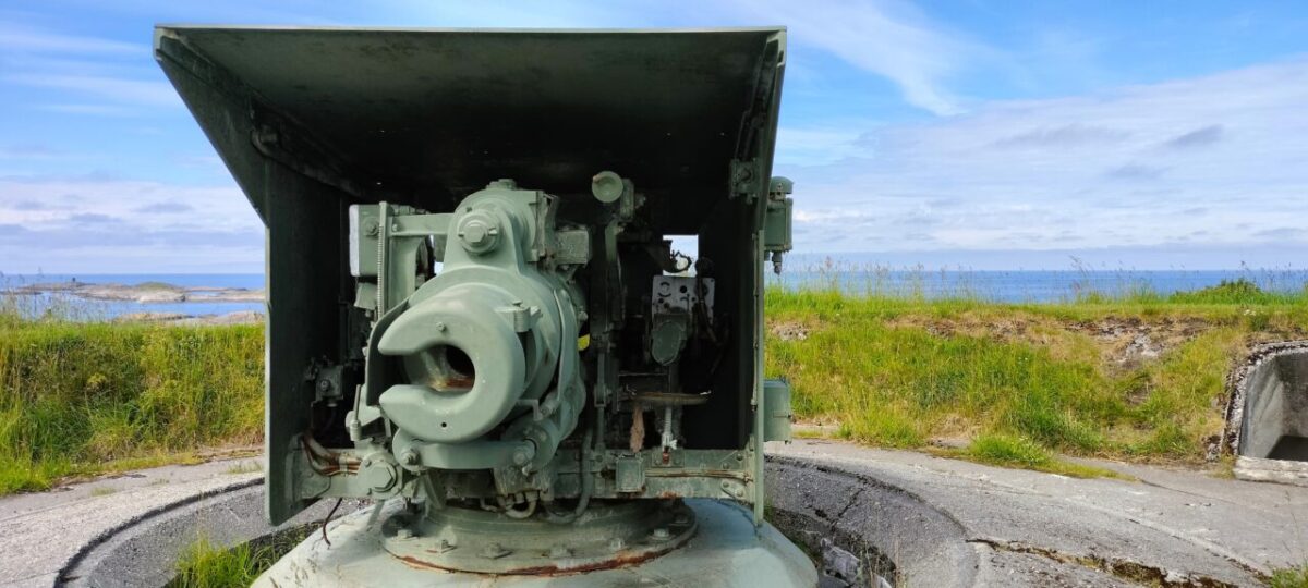
The suggested road for tourists to get to Kristiansund is via the Atlantic Ocean Road which is an 8.3km stretch of road that runs through an archipelago connecting the main land with the island of Averoy. From Averoy there is a 5.7km undersea tunnel connecting you to Kirkelandet, Kristiansund. The guide books suggest you start your journey from either Eide or Bud, so we went for Bud. The photos here show the outdoor museum area of World War battlements, an old cruise ship propeller used to make the boat go sideways into dock, part of the anchor off the Viking Sky that ran aground nearby, and the fantastic view; the sky was still blue at that point.
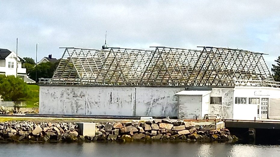
The wooden structures on the top of the building in the photo to the right are cod drying racks. Salted dried cod is a major industry in the area and is exported from Kristiansund to Spain, Portugal and Latin America.
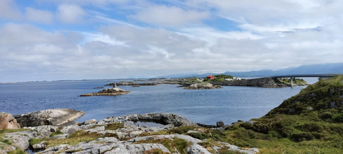
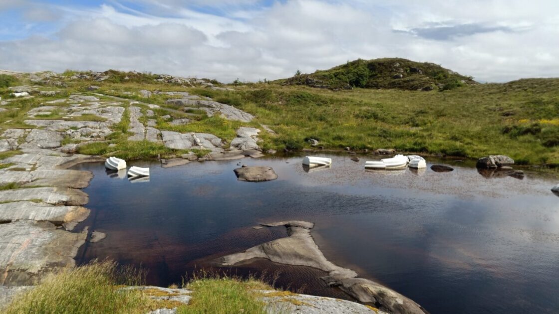
The photos here are from an area near Vevang where you can view the true start of the Atlantic road. The white things in the water are marble pieces made to look like a broken up ancient Greek column, it is some sculptors’ idea of art.
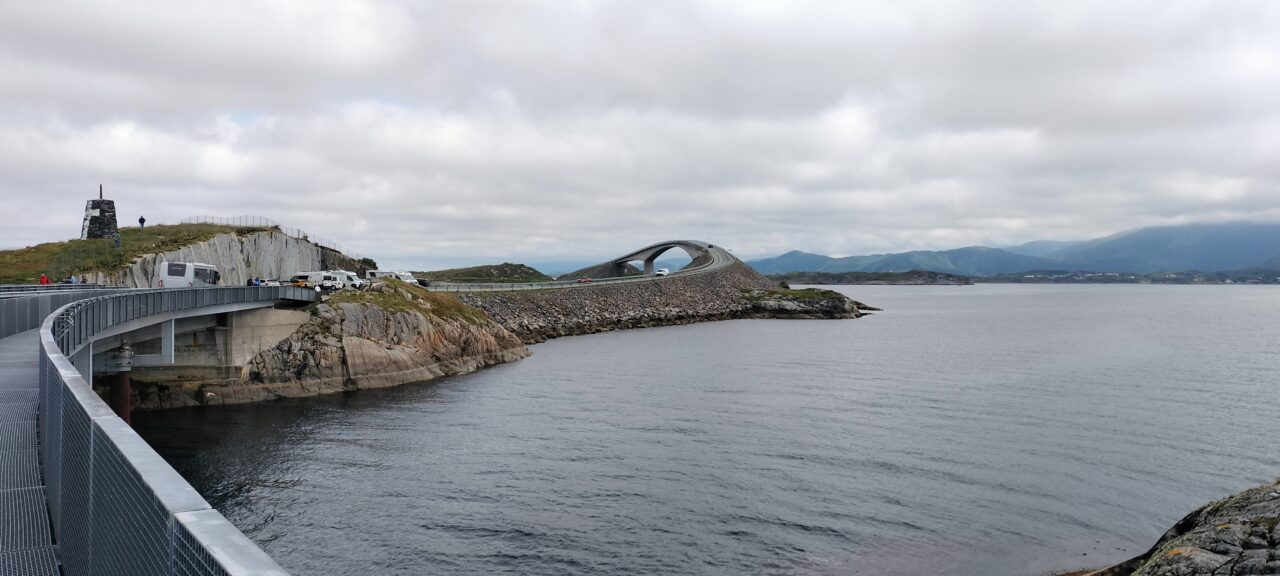
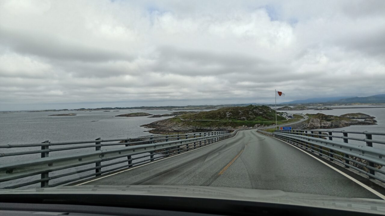
Atlantic Ocean Road
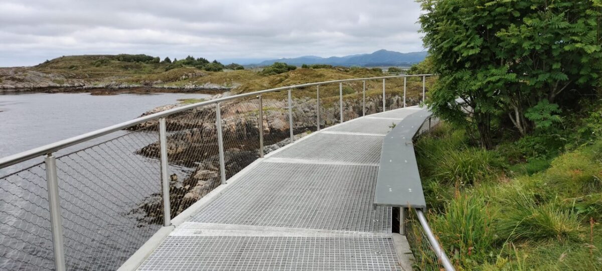
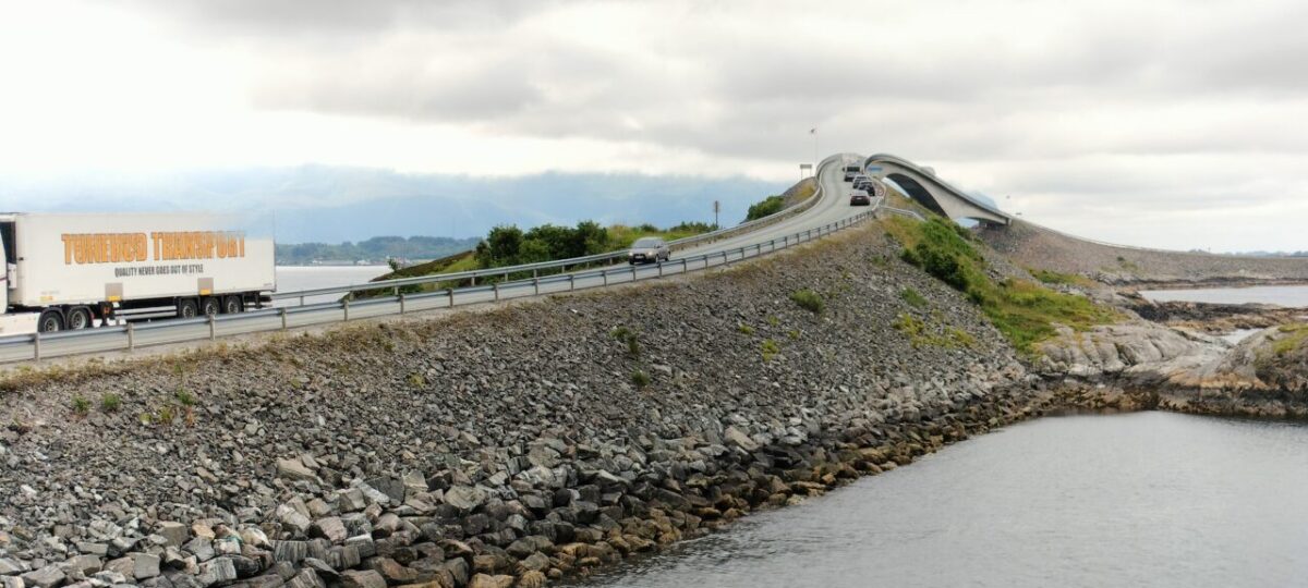
The following photos are of the Atlantic Ocean Road, the islands and smaller land masses are connected by causeways, viaducts and 8 bridges, the biggest being the Storseisundet. There are car parking spots on most of the islands (and geocaches), and metal pathways to viewing points. The largest car park near the Storseisundet Bridge has a cafeteria, souvenirs, toilets and a walkway right round the island. Lunch today came from the Atlantic Ocean Road café, beetroot flavoured wrap with chicken salad. We were lucky with the traffic, there was always a spare car park for the small VW, not too many road users and the tourist bus turned up just after we left.
Today’s ABBA tribute is ‘Just Like That’ (1982) for our Atlantic Road experience, in particular two parts: one for the Atlantic Ocean Road itself, possibly given too much hype, Norway is full of islands connected by bridges, tunnels and causeways. The main bridge was mild compared to the steep, one lane bridge with the blind spots on entry that we experienced a few days ago.
The river’s flowing slowly Following its safe and uneventful course
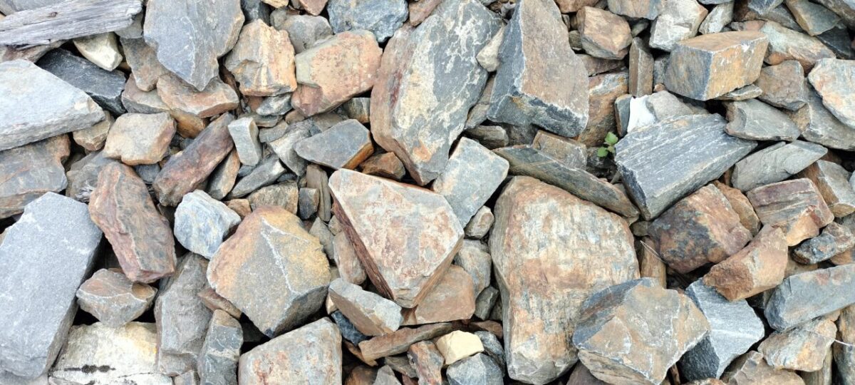
And one for the 6 geocaches we did today, the majority said under a stone, as per the photo the place is full of stones and rocks. But my secrets he learned Leaving no stone unturned